
Map Laguna Beach Street Directory Parcels One at a Time
A Laguna Beach street directory search works best as a parcel walk. Start with one address, preserve its APN, and add one record set at a time. The city map can reveal adjacent parcels and local layers. The county assessor can return values for the APN but withholds the online owner name. RecorderWorks can connect a person or entity to a recorded instrument. City files can identify an applicant or owner at a dated project. Each result has a role and a date that must stay attached to it.
Use this sequence for a named street:
- Resolve the address in the Laguna Beach Public GIS viewer, choose the address autocomplete match, and record the APN.
- Enter the APN in the Orange County secured-value search. If the web result is not enough, use the Public Service Counter in Orange.
- Pan along the street and click each parcel. Keep neighboring APNs separate instead of creating a guessed household list.
- Use the APN, legal description, or dated party name to search the Orange County deed index. Order a copy only after the index gives an identifier.
- Check the lawful voter-file channel and the library's reverse or criss-cross holdings when the question concerns a registered voter or an earlier householder.
Note: The stable bridge across street forms, ZIP variants, and old numbering is the APN plus the legal description, not the mailing label alone.
Open the Laguna Beach Street Directory Map in Public GIS
The City of Laguna Beach Public GIS is the street directory's map layer. Choose “I want to...” and “Search by Address,” type slowly, and select the dropdown match. The parcel pop-up can expose the APN, geometry, local planning or hazard layers, and a Property Information link into city material. Zoom and pan along a street to inspect adjacent polygons, but keep each parcel as its own record.
The Historical Society cautions that a small number of homes do not appear in the map. Use the City's public records search as the fallback, then compare the address, APN, and legal description. The City maps and GIS landing page provides the official map context. GIS is especially useful in Laguna Beach because steep canyons, coastal bends, hillside roads, and named neighborhoods make a straight street-name search less reliable.
The official Laguna Beach map opens the parcel view used for street-by-street research.
That map can show the physical relationship between lots. It cannot show who occupies a home, and a measurement tool describes distance or area rather than a legal neighbor radius.
Use the APN-Only Orange County Assessor
The Orange County secured-value portal is not a conventional address directory. Its public form accepts an eight-digit numeric APN and Submit. It expressly rejects owner-name searching and suppresses the owner name in the online result. For a street directory, this means the GIS parcel key must come first. The result can still supply value, exemption, tax-rate-area, assessment-year, land, and improvement context.
| APN field | Eight numeric digits; city instructions display APNs with hyphens, while the county web form removes them. |
|---|---|
| Submit | Runs the secured-value query for the entered parcel. |
| Public result | Land and improvement assessed values, total value, exemption, tax-rate area, and roll context; owner name is absent. |
| Counter fallback | Public Service Counter, 500 S. Main Street, second floor, Orange, Monday-Friday, 8 a.m.-5 p.m. |
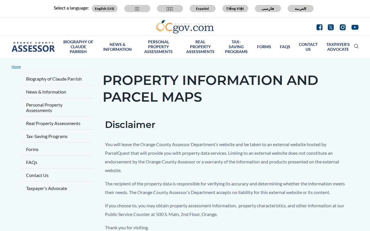
The mailing address attached to a tax notice may belong to a trust, manager, second home, or owner outside Laguna Beach. It can be a lead for a title search, but it is not occupancy proof. The county parcel-map guidance explains the counter and outside parcel-service context. For a current title connection, use RecorderWorks, the assessor counter, an authorized parcel service, or a dated city administrative file.
The public permit portal image reinforces the handoff from parcel identification to address-keyed project research. Permit access and value access are related, but they remain separate record systems.
Laguna Beach Street Directory Records by Street
Five record families can be aligned to a Laguna Beach address, but none is a complete street roster. GIS gives the parcel and APN. Assessment data supplies values. RecorderWorks follows title instruments by party and number. OnBase and the Tyler-hosted permit portal supply dated project evidence. Voter-file access is controlled by Elections Code, while older address clues come from library directories and newspapers.
| Record Set | Keeper | What It Shows | Access |
|---|---|---|---|
| Secured values | Orange County Assessor | APN, values, exemptions, roll context | Free APN portal; owner withheld |
| Parcel GIS | City of Laguna Beach | Geometry, adjacent lots, APNs, local layers | Free interactive viewer |
| Deeds and liens | Orange County Clerk-Recorder | Grantors, grantees, dates, instruments, maps | Free index; paid copies |
| Voter file | Orange County Registrar of Voters | Registered voters where lawfully supplied | Application and permitted purpose |
| Permits and projects | City Community Development | Address, scope, applicant, owner, professional | Public search; plan-copy limits |
The chain is address to APN, APN to recorded party or legal description, and dated project role to the city file. RecorderWorks is party-indexed rather than a dependable street search, so a parcel or title key should anchor the query. The street name becomes useful again when comparing a voter extract or a historical street section.
Search Laguna Beach Street Directory Files in OnBase
OnBase is the city archive where an address becomes a project file. Choose a document category, enter an address, APN, or term, and open the scanned result. The documented wildcard replaces “street” or “avenue” with an asterisk, so 505 Forest* can catch suffix variations. The APN form XXX-XXX-XX is useful when the same street name appears in more than one local context.
Permit and project records may list an owner, applicant, architect, contractor, phone, email, mailing address, project description, valuation, or classification. Treat each field as a dated role. The public permit portal allows research into permits, plans, inspections, and project status; an account is needed to start an application. The City's building-permit guidance supplies the related counter and access context. Building plans can be viewed digitally at the Community Development counter, while copies require a request and an authorization process that can run for 30 days.
Laguna Beach's public permit portal supplies the address-keyed project layer.
Follow Deeds and Permit Roles Along a Street
A deed connects a person or entity to a transfer, not automatically to an occupied home. RecorderWorks shows grantor, grantee, instrument, date, type, and map references. An ordered image may add vesting, return address, legal description, APN reference, and signatures. The city permit file may identify an owner at application time, an applicant, a contractor, or a design professional. Compare names and dates before calling the connection current.
For a whole street, make one row per APN. Keep a separate column for the situs address, tax-mailing address, legal description, document number, and role. That layout prevents a tax recipient from becoming an assumed resident and prevents a contractor from becoming an assumed owner. A current title question belongs with the Clerk-Recorder or another authorized title source.
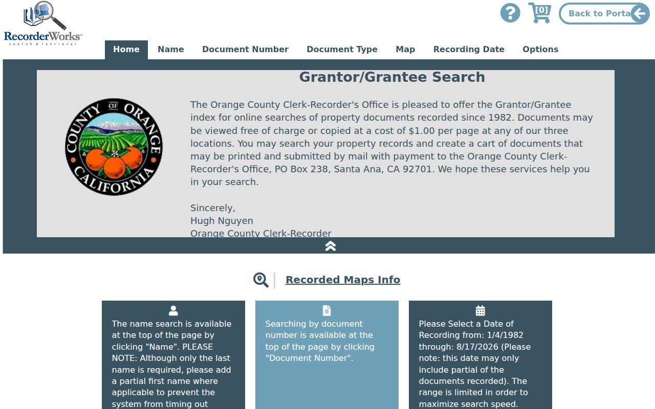
The deed-index interface is free to search, but images are not delivered through the public index. Copies follow the county's order process.
Read Laguna Beach's Historical Street Listings
Reverse and criss-cross directories put the street before the surname. The Laguna Beach Library Local History Room is the place to ask for telephone books, reverse volumes, clipping files, yearbooks, photographs, and uncatalogued vertical files. Official online material does not expose an exhaustive publisher-and-year shelf list, so the exact local volume should be confirmed with staff rather than assumed.
The Library of Congress digitized Laguna Beach white and yellow telephone directories from July 1934 to December 1948, with linked segments through November 1960. A white-page entry normally gives a subscriber surname, given name or initial, street text, exchange, and number. It is not a classic city directory and does not reliably give a full household, occupation, spouse, or owner mark. Search the next issue when an address or phone number changes.
For the earlier Orange County directory references, NARA lists Laguna Beach in 1926, 1929, and 1931. The street section can reveal adjacent householders, but missing years and omitted household members are normal. Historical volumes belong to the backward address trail, not the current street directory.
Situs, Mailing, and Legal Address Keys
Three address forms can appear in a Laguna Beach record. The situs is the physical parcel. The assessment mailing address is where a notice goes. The deed legal description identifies the land by lot, block, tract, or metes and bounds. They may point to different places. The APN is the stable assessment key, while the legal description is often the stronger bridge for older title records.
Street forms vary too. North and South Coast Highway, Coast Highway and Coast Boulevard, suffix abbreviations, private roads, gated roads, and PO boxes can split a search. Research found no official citywide street-renumbering year to cite, so a missing old address should be tested against maps, APN, legal description, and a nearby census or newspaper reference rather than explained by an invented renumbering event.
The city boundary adds another date check. Laguna Beach incorporated in 1927 around about 690 acres, while the present city covers roughly 8.89 land square miles. Later coastal, canyon, and hillside territory can appear under a different neighborhood or municipal heading in an older source. Pacific Coast Highway opened on October 9, 1926, just before incorporation, which helps explain why a 1926 directory and a current street map may describe the same corridor differently.
Note: ZIP 92651 and PO-box ZIP 92652 are postal keys; neither replaces the city parcel boundary or county jurisdiction check.
Copies from the 1982 Laguna Beach Street Directory Divide
RecorderWorks uses a structured online index for 1982-present documents. A 1982-forward search relies on the recording year plus six-digit instrument number. Earlier documents use book and page, with an instrument number when available. The online index is free, but the document image is not shown there. Staff do not perform a search by phone, counter, or mail, so the researcher should arrive with a name, date, document type, book/page, or number.
Ordinary copies are listed at $1 per page plus $1 certification per document or map. Mail orders go to 601 N. Ross Street, Santa Ana, with a self-addressed stamped envelope and payment to County of Orange. When the online path fails, the Clerk-Recorder, Orange County Archives, counter indexes, and older deed books form the fallback chain. The county's copy instructions explain how an index result becomes an official document request.
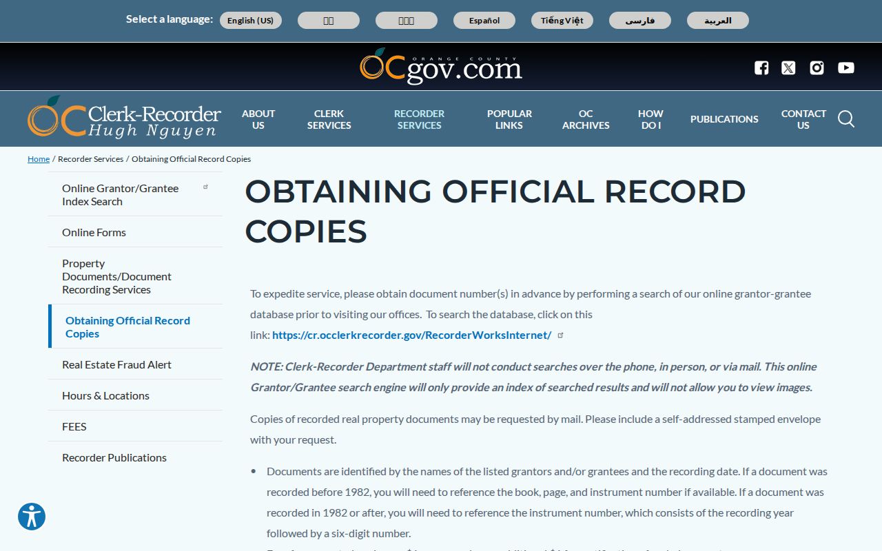
The copy process adds the document image and legal detail that a free index cannot supply.
The 1982 divide is a retrieval rule, not a statement that property history began in 1982. Pre-1982 books and fiche can contain the older trail, but the correct reference must be found before a copy can be ordered.
What a Laguna Beach Street Directory Cannot Show
A parcel owner is not necessarily a current occupant, and the public portals do not enumerate every household member. Utility and customer data is not an open street list. DMV residence data is restricted by the federal Driver's Privacy Protection Act and California law. Voter history never reveals ballot choices, and a protected participant may use a substitute or withheld address.
Neighborhood or Firewise contacts can identify a voluntary civic group and its public leader. They do not create a membership roster. A Chamber listing, business license, or committee page can show a public-facing affiliation. It should not be repurposed as a private household directory.
Lawful use. Laguna Beach street and address records support personal, lawful research, family history, and civic curiosity. Never use a name or address to stalk, harass, intimidate, or harm anyone. California Penal Code §§646.9 and 653m and Civil Code §1708.7 provide separate protections and remedies.